Google’s Waze Partners With Mapping Company Esri to Help City Planners Shape Traffic
In its geographic information system, Esri will offer a live feed of mapped traffic data and alerts based on information crowdsourced from Waze users
12:3711.07.18
Mobile navigation app developer Waze has partnered with geographic information system company Esri to offer governments and cities real-time traffic and road condition data, the companies announced Tuesday.
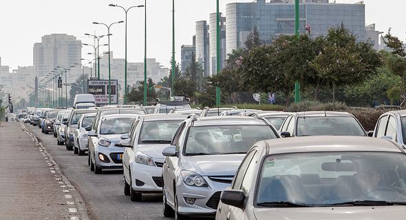
 Traffic jam in Israel (illustration). Photo: Orel Cohen
Founded in 2008 in Tel Aviv, Waze was acquired by Google in 2013 for a total compensation of $1.3 billion.
For daily updates, subscribe to our newsletter by clicking here.
In its geographic information system, Esri, also known as Environmental Systems Research Institute Inc., will offer a live feed of mapped traffic data and alerts based on information crowdsourced from Waze users.
 Traffic jam in Israel (illustration). Photo: Orel Cohen
 The service will allow city planners and engineers to make informed decisions concerning infrastructure, traffic light locations and timing, and the need for increased police presence, the company said in an announcement.
Related stories:
- Automaker FCA Unveils Panda Waze, Highlighting Navigation System Integration
- Ofo Bikes Used Over 1,000 Times a Day in This Israeli Town
- Israel’s National Railway Adopts Contactless Credit Card Payments
In November Esri, partnered with Intel’s automotive chipmaker Mobileye to stream data collected by its sensors to Esri’s system with an aim to improve pedestrian safety.


