ISRAEL AT WAR
Waze and Google maps disable real-time traffic reports in Israel due to Gaza war
This is not the first time Google has taken such action. In the early stages of Russia's invasion of Ukraine, Google disabled its real-time mapping services to prevent the tracking of military movements and civilians seeking shelter
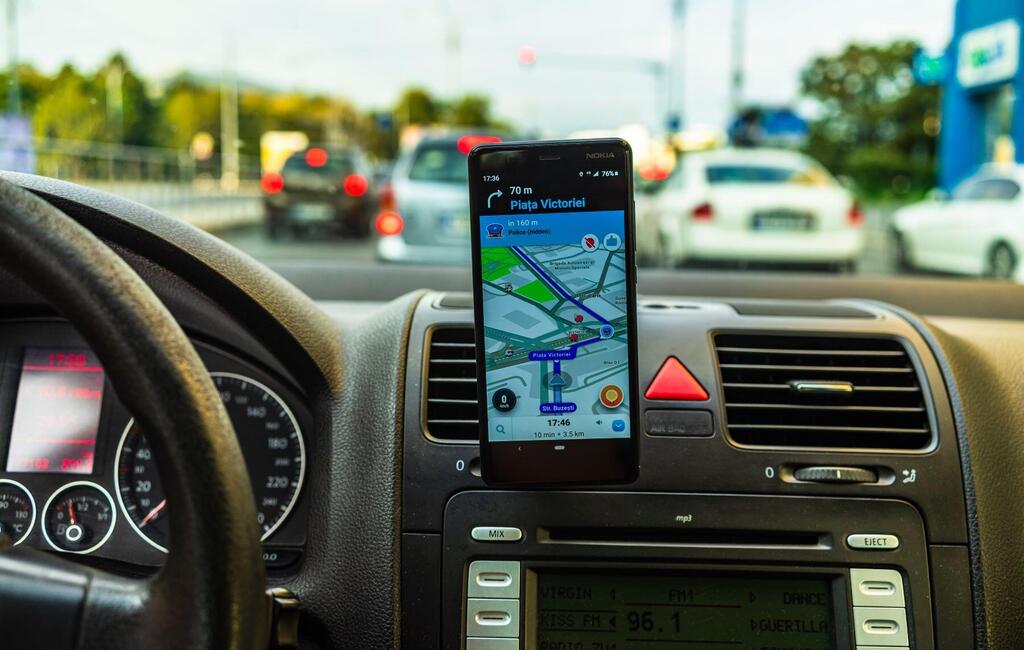
Travel applications Waze and Google Maps have disabled some of their functions in Israel. Waze, acquired by Google in 2013, and Google Maps, no longer provide various reports regarding road congestion, traffic, and the location of other drivers in Israel.
The rationale behind this move is clear. In times of war, particularly when a terrorist organization is actively targeting civilian concentrations, real-time information on such gatherings poses a significant risk. It's crucial to prevent such a terrorist organization from accessing real-time reports on vehicular traffic as well.
According to Google, suspending these services in war zones is not unusual. The company explained that it suspended the ability to monitor traffic congestion in real-time and the degree of congestion in various areas out of concern for the safety of the residents of the area. Nevertheless, anyone navigating to a specific destination will still receive directions and an estimated arrival time that accounts for traffic conditions in the area.
This is not the first time Google has taken such action. In the early stages of Russia's invasion of Ukraine, Google disabled its real-time mapping services to prevent the tracking of military movements and civilians seeking shelter. Reuters reported that Google complied with requests from Ukrainian authorities at the time.
Google Maps' role in the Ukraine conflict continued to evolve as the fighting progressed. At one point, Google even disrupted the ability to add reviews to various websites, as this functionality was being misused for communication. Google Maps, with its high transparency, raised concerns in Ukraine that the Russian army was using it to mark targets. While some of these claims turned out to be false, data traffic from Google Maps did indicate the Russian invasion before local news in Ukraine reported it.
The decision to disable these activities comes two weeks after the start of the war, which might seem like a long time given the security concerns. It's unclear why the decision was made only now, but it's likely that Israeli security officials issued a directive similar to the case in Ukraine.
This situation underscores the risk of excessive reliance on commercial navigation apps and the potential delegation of governmental responsibilities to tech giants in matters of spatial movement.
While maps and geographic data have always played a significant role in warfare, the democratization of this information introduces new complexities. Technology and location data are now accessible to anyone with a smartphone and internet access, not just those with specialized military equipment.


