










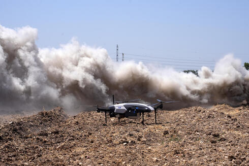
Israel tests AI-powered drone that can spot wildfires before they spread
A new system developed by IAI, the Technion and emergency authorities uses infrared sensors and artificial intelligence to detect fires within minutes of ignition across hundreds of square kilometers.
As climate change increases the frequency and intensity of wildfires, Israel is testing a new autonomous drone system designed to spot fires before they grow into large-scale disasters, combining long-endurance aviation, artificial intelligence and advanced imaging technologies.
The system completed its first flight test this week as part of a joint project involving the Israeli Ministry of National Security, the Israel Innovation Authority, Israel Aerospace Industries (IAI), the Technion and the Israel Fire and Rescue Authority. Additional trials will evaluate the system under different operational scenarios and environmental conditions.
The goal is to address one of the biggest challenges in wildfire response: the race against time. Fires that are detected only after they have spread can quickly overwhelm firefighting resources, particularly in remote areas that are difficult to access.
The new platform is designed to identify fires within minutes of ignition, locate them with meter-level accuracy, and provide emergency responders with a real-time operational picture before a small fire becomes a major wildfire.
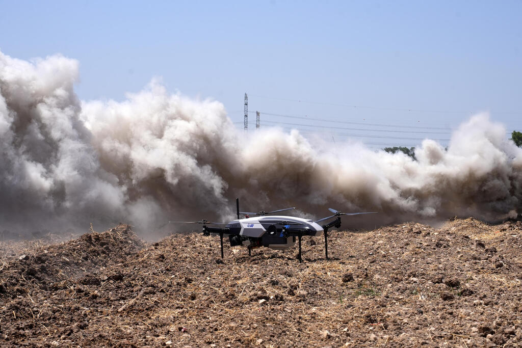
The system is integrated onto IAI’s APUS 25, a tactical vertical takeoff and landing (VTOL) drone that can operate without a runway, launch from almost any location and remain airborne for extended periods.
Unlike many commercial drones that rely on batteries and have limited flight times, the APUS 25 uses an internal combustion engine, allowing it to carry out long-duration surveillance missions. In the wildfire detection project, the drone can remain airborne for four to five hours while continuously scanning a designated area.
The drone is equipped with day and night cameras, infrared sensors and artificial intelligence-based image-processing systems. The technology analyzes visual data in real time, identifies unusual patterns that may indicate a fire, detects hotspots even in darkness or through dense smoke, calculates the location of the outbreak and immediately sends alerts to the Fire and Rescue Authority’s command center.
A firefighter will operate the system by selecting a search area on a digital map. After takeoff, the drone will autonomously determine the optimal observation position and scan the area without requiring continuous human control.
The developers say a single drone could eventually cover hundreds of square kilometers, allowing emergency authorities to monitor large and remote regions more efficiently.
The project reflects a broader effort by governments and emergency organizations to adapt to a changing wildfire environment. Extreme weather events linked to global warming have contributed to more frequent and intense fires around the world, increasing pressure on authorities to improve early warning systems.
"The ability to leverage expertise, operational experience and capabilities in aviation, artificial intelligence and autonomous systems allows us to address issues of both national and global importance," said Moshe Levy, executive vice president and general manager of IAI’s Military Aircraft Group.
Researchers from the Technion are contributing algorithms and artificial intelligence capabilities aimed at extracting meaningful information from large volumes of sensor data.
"The challenge is not only detecting a fire, but providing authorities with accurate information that enables faster decisions," said Prof. Asaf Schuster from the Technion’s Faculty of Computer Science.
The system is still undergoing testing and has not yet entered operational deployment. The next phase will examine its performance in different terrain, weather conditions and firefighting scenarios.